Labsea Melt
Estimates of basal melt water from Greenland: a driver for sea level changes (Labsea Melt)
Greenland Ice Sheet (GrIS) basal melting is one of the major contributors to GrIS ice mass loss and thus sea level rise. The accelerating melt rates in the last 20 years are mainly caused by intrusions of warm Atlantic water into the glacier terminating fjords. However, estimates of submarine melt rates are usually based on indirect methods (difference between total mass loss from remote sensing methods and surface mass balance or estimated from measurements of ice velocities and ice thickness changes) and are, thus, still highly uncertain. Model results depend strongly on the models ability to simulate the small-scale fjord dynamics and other parameterizations. Large uncertainties also still exist in the processes in the fjords and how the glacial melt is transformed before released into the Greenland boundary current and subsequently into the interior of the adjacent ocean basins. These uncertainties might cause erroneous projections of GrIS mass loss rates and thus sea level for the next centuries. So far, there are not sufficient data available that might allow to trace and to quantify the glacial melt water in the ocean. This proposal will provide new data to assess the glacial melt water input in the ocean interior.
Increasing melt water flow into key regions of the AMOC (e.g. Labrador Sea), are able to change local and basin wide circulation, thereby modifying dynamic topography and thus sea level. Based on the recent time series and on projections from climate models the GrIS mass loss might accelerate in the near future and this could also lead to more input of glacial melt water fractions into these key regions.
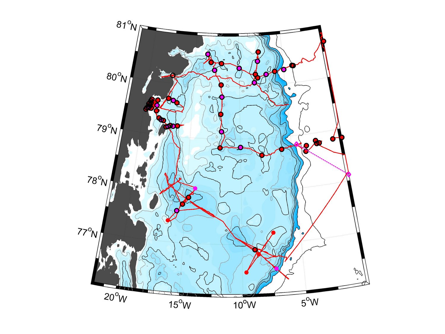
Here we propose to measure and use the distributions of helium and neon isotopes in ocean water in the vicinity of one of the major outlet glaciers in northeastern Greenland (79N Glacier) and in the Greenland boundary current and the Labrador Sea to
- Estimate the basal melt water fraction in the near- and the far field of the 79N Glacier and how much of the glacial melt water is transported into the Greenland boundary current and the western Fram Strait.
- Estimate how much of the glacial melt water of the GrIS is transferred into the Labrador Sea and the LSW formation region and quantify whether the fractions of glacial melt has increased.
- Analyse from high resolution ice-ocean model how and where and to what amount subsurface melt water is transferred from the Greenland boundary current into the interior of the adjacent ocean basins.
- Analyse how an increase in the melt rate changes the regional sea level in the Labrador Sea and the subpolar North Atlantic and study which mechanisms are involved as mass increase, changes in the 3-D thermohaline structure and thus dynamic topography, changes in the large-scale circulation and associated changes in freshwater and heat distribution.
The Labsea Melt project is also a member of the Focusgroup Cryosphere and Sea Level (FCS).