Training course for Indonesian scientists from the Geospatial Information Agency (BIG) at GFZ Potsdam
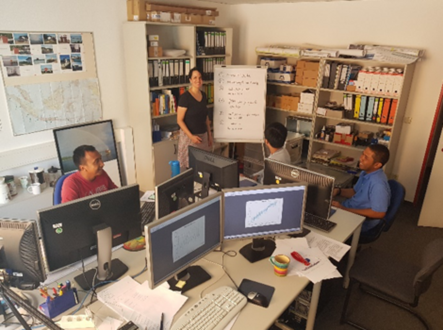
Between 25.06.2018 and 10.07.2018 three Indonesian scientists of BIG (Badan Informasi Geospatial) visited the Helmholtz Centre Potsdam, German Research Centre for Geosciences (GFZ) in Potsdam for a sea-level training. BIG is a governmental agency and among other duties is responsible for the installation and operation of tide gauges in Indonesia.
After the tsunami in 2004, GFZ installed 10 tide gauges in Indonesia in the frame of GITEWS (German Indonesian Tsunami Early Warning System) and established a close cooperation with BIG. Although the tsunami project is finished by now, the cooperation has remained. The close relationship paved the way to install 3 additional GFZ-tide-gauges for research of sea-level rise and land subsidence which are now used in the SPP-1889 CoRSEA project.
Since 2007, BIG has installed 138 tide gauges all over Indonesia, and supports the tide gauges installed by GFZ and the University of Hawaii Sea Level Center. The topics of the training ranged from the installation of hardware and maintenance concepts, data transmission and tide gauge data quality control to tidal analysis and modelling for tidal prediction.
"With GFZ's in-house software package (ADS), which allows remote excess via a web service, we trained the Indonesian scientists in analysing, modelling and prediction of tidal data as well as altimetry data processing. Therefore, the main part of the training has been filled with its introduction and usage. During the two weeks course, we analysed tide gauge time series from different tide gauges in Indonesia, in particular gauges from our regions of interest (Jakarta: cooperation with the SPP-1889 EMERSA and SPP-1889 TRANSOCAP; Semarang: cooperation with SPP-1889 TRANSOCAP; Jepara and Makassar: cooperation with SPP-1889 SEASchange)", explain our CoRSEA colleagues Julia Illigner and Tilo Schöne.
Additionally, the training included a brief introduction in superconducting gravimetry and Satellite Laser Ranging.
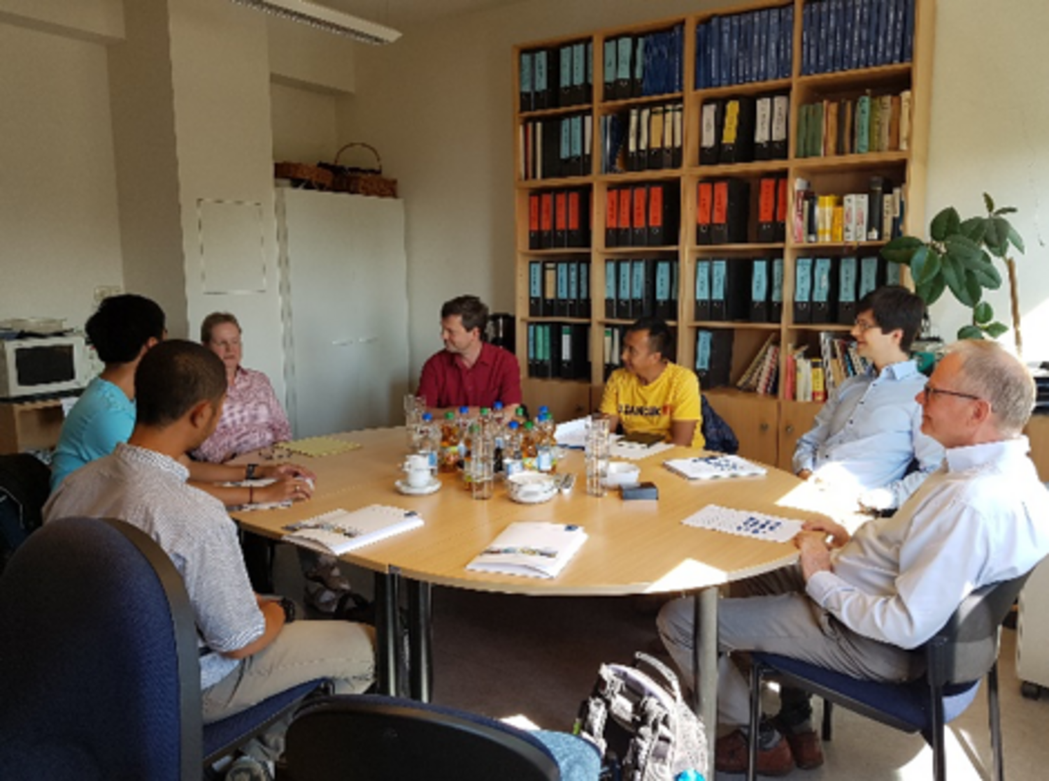
Beside the lessons which took place at GFZ, the participants of the course accompanied by our GFZ colleagues, had a particularly informative and interesting visit at the "Bundesamt für Seeschifffahrt und Hydrographie" (BSH) (Dr. Müller-Navarra and colleagues of the group "Gezeiten, Wasserstandsvorhersage und Sturmflutwarndienst") in Hamburg.
"Hamburg is a key location and a challenge for precise prediction, which is crucial for shipping, given its tidal range of roughly 4 meter and a wind-induced water rise or fall of additional 4 meter. The expertise of decades of precise water level prediction has been impressive to all of us and will help to improve the methods used at BIG as well as in GFZ. After the visit at BSH, we had also time to show our guests Hamburg's flood protection sites, which we had visited and learned about earlier this year during our last SPP and ECS Meetings."