'Sea Level Change and Society' at AGUFall 2018 Meeting
Although sea level rise is a global phenomenon, the impacts are local, and are happening now. Changes in sea level are impacting communities across the globe on an almost daily basis through increased erosion and subsidence, greater saltwater intrusion, more frequent “nuisance” flooding, and higher storm surge. Planning for, adapting to, and mitigating current and future sea level has begun out of necessity in many threatened areas.
The Session "Sea Level Change and Coastal Impacts and Flooding" at the American Geophysical Union (AGU) Fall meeting, co-convened and chaired by the SPP SeaLevel Coordination representative Prof. D. Stammer, concerned the information that is needed for planning for, adapting to, and mitigating current and future sea level as well as to identify areas where improvements still need to be made.
The SPP SeaLevel was also at the AGU Fall Meeting, both at the sea level session and the Research in Germany booth at the Exhibition Hall, where visitors had the opportunity to meet with the SPP SeaLevel Coordination team and scientists and find out more about the program's research and objectives, its current state and goals and discuss the most recent research findings.
Several SPP SeaLevel projects participated at the AGUFall Meeting and presented their more recent results in the different sessions. More specifically, scientists from the SPP OMCG project gave presentations on the "Ocean mass change from GRACE and Swarm missions" and "Non-linear evolution of vertical land motion as a key to improve sea-level estimates"; from the SPP DECVAR project on "Downscaling regional SLC in CMIP5 climate change projections in the North Atlantic" and on “Sensitivity Of Sea Level Response In FAFMIP Experiments To Model Resolution” and from theSPP SATELLITE project on “Glacier elevation and mass change of mountain glaciers outside the polar regions, derived from TanDEM-X InSAR data and SRTM C-Band between 2000 and 2011-15”.
The session dedicated to Sea Level research invited contributions on understanding and projecting regional coastal sea level changes, accounting for and identifying changes in extreme events, and assessing the role of land motion in future coastal flooding. In addition, studies that show changes and their relation to open ocean processes and the ability to forecast them under climate change conditions.
The well-attended Sea Level session started by focusing initially on the drivers behind sea level change. The oral presentations covered a variety of topics, including:
- the Gulf Stream stability in the past two decades and altimetry era, and in relation to the decrease of the Atlantic Meridional Overturning Circulation (AMOC) transport;
- Downscaling regional SLC in CMIP5 climate change projections in the North Atlantic;
- Hybrid reconstruction of 20th century regional and global mean SLC in space and time.
- Frequency and consequences of coastal flooding events;
- Vertical land movement analysis in Washington State; and Coastal groundwater response to future SLR in California;
- Small Pacific and Indian Ocean Islands among first hit and strongly impacted by SLR; and others.
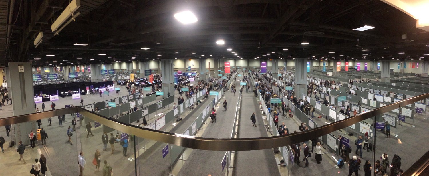
Moreover, the extended poster sea level session further covered other sea level research aspects, such as:
- Wave contribution to coastal SLR;
- Long term SLR until 2300 when limiting global warming to below 1.5 degrees C
- Quintupling of flood events at the seaward end of the Mississippi river delta and the role of climate change, subsidence and coastal construction;
- Meridional asymmetry in recent Pacific sea surface height trends;
- Subseasonal predictability of SL in the Hawaiian Islands; and many more.
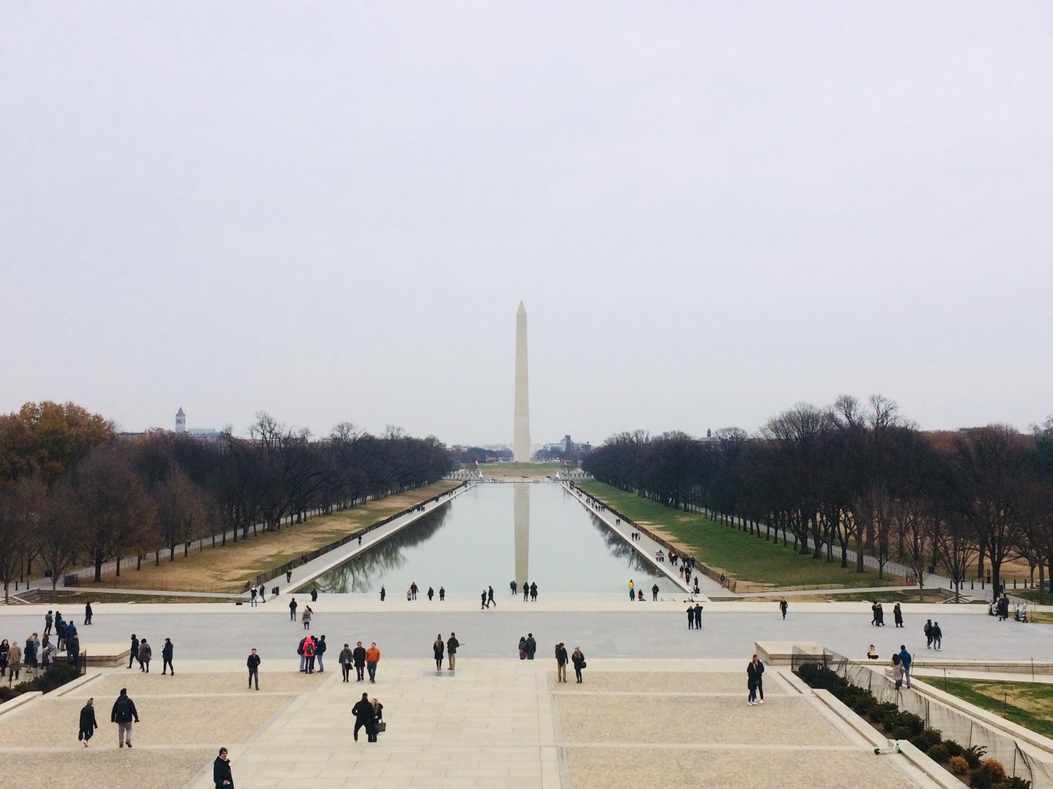
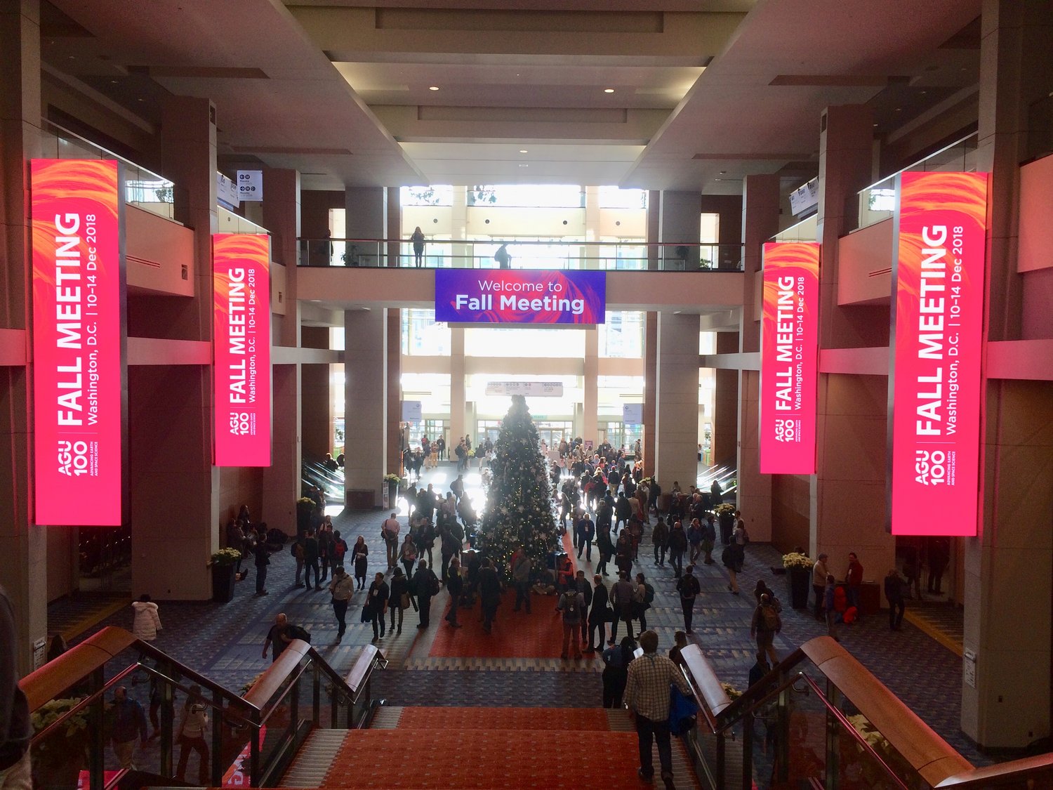
The AGU Fall Meeting, the largest Earth and space science gathering in the world with over 40000 participants, took place in Washington, D.C., USA between 10-14 December 2018, offering the opportunity to highlight the latest discoveries, insights, and advances in numerous fields of study whose work protects the health and welfare of people worldwide, spurs innovation, and informs decisions that are critical to the Earth system's sustainability.
The 2018 Meeting also marked the beginning of AGU's Centennial in 2019, a time to reflect on the meaning of a century of discovery and its contribution to inform policy decisions, spark innovation, and protect the health and welfare of people everywhere.