DFG Roundtable Workshop "Scientific Utilisation of the Surface Water and Ocean Topography (SWOT) Mission in Germany"
About forty scientists from oceanography, hydrology, cryosphere research, geodesy and remote sensing met at the University of Bonn’s Institute of Geodesy and Geoinformation on February 7 and 8, 2019, to discuss potential applications of the SWOT (Surface Water and Ocean Topography) satellite mission, which will be launched by NASA and CNES in late 2021. The workshop was organized by Luciana Fenoglio and Jürgen Kusche from the Astronomical, Physical and Mathematical (APMG) group at IGG and was funded by DFG.
The SWOT mission, scheduled for launch in September 2021, will observe the whole continental waters-estuaries-ocean continuum and thus link the ocean and hydrology scientific communities. SWOT will provide global, high-resolution observations in coastal regions with its new capability of mapping sea surface height down to 15 km scales, which will improve the knowledge of coastal ocean dynamics, coastal and internal tides, currents and storm surges. On inland waters, SWOT will measure water elevation, water mask and water slope, which are key measurements for the derivation of the streamflow and discharge. SWOT will map two parallel 50-km-wide swaths, with a data gap at nadir of 20 km every 21 days during the scientific phase of the mission. Within this repeat period, 2-3 revisits can be expected at our latitudes, 1-2 revisits at lower and more at higher latitudes. During the calibration/validation phase of three months it will map a 1000 km long stripe over Germany every day.
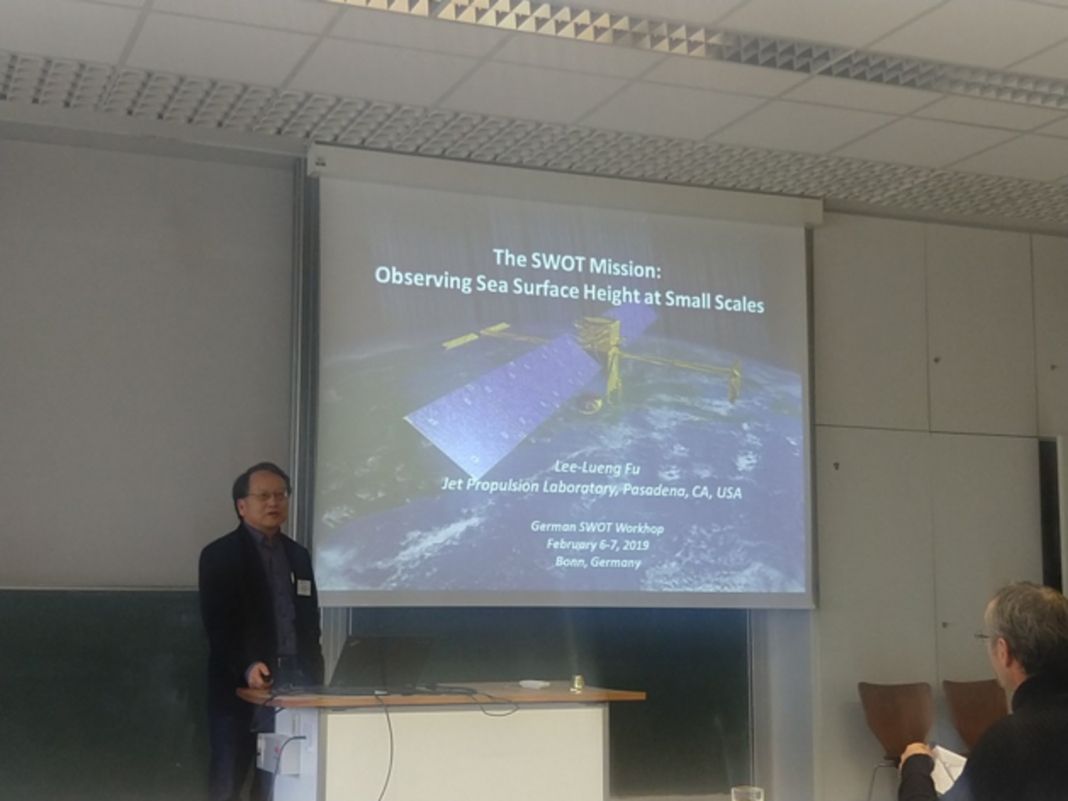
The workshop began with invited presentations from the SWOT ocean and hydrology science leads Lee-Lueng Fu (NASA/JPL) and Jean-Francois Cretaux (CNES), addressing programmatic issues, mission science objectives, instrument performance and research questions and anticipated improvements in ocean science and terrestrial hydrology. These were then followed by contributions from the participants on the first day on oceanographic and on the second day on hydrological and ice applications. Main themes of the workshop were: (1) planned cal/val activities, in particular with respect to the 1-day calibration orbit over Germany, (2) ideas for ocean application, benefits of the high-resolution mapping of sea surface e.g. for eddy research, (3) ideas for land hydrology applications, e.g. for lake and wetlands research, for water resource assessments, and for river discharge mapping, (4) suggestions for other applications such as ice topography, discussion on data products, and (5) exploring funding opportunities at a national level.
All participants acknowledged the productive framework of the workshop, expressed their high interest in continuing the discussion and better coordinating efforts in Germany. It was agreed to form a core group that would develop a strategic agenda, aligned with the official SWOT project, coordinate potential german research contributions.